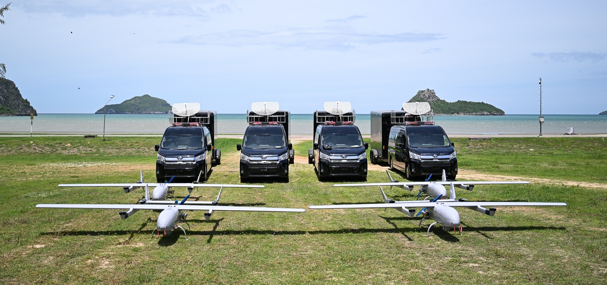
MADDOS VTOL UAV
MADDOS UAVs are advanced vertical take-off and landing platforms capable of executing various mission scenarios even in most demanding environments. Their design allows for take off and landing mostly everywhere, even during strong winds and from unprepared ground. The high payload and fuselage capacity provides for a wide range of advanced payloads to be mounted on-board. Thanks to implemented sophisticated anti-jamming capabilities, the UAVs are fully operational in today’s contested EW environment. MADDOS UAV can be used in both military and civilian application for surveillance, border control, search and rescue, public safety.

MADDOS UAV FEATURES
VTOL
MODULAR DESIGN
HIGH PAYLOAD CAPACITY
LONG ENDURANCE

LONG OPERATION RANGE
DURABLE CONSTRUCTION

AUTOMATIC OPERATION

DAY & NIGHT OPERATION
APPLICATION
ISR
ARTILLERY FIRE
CORRECTION
SEARCH & RESCUE
MARITIME
MADDOS VTOL 350e
MADDOS 350e is a fully electric platform designed for short-range, rapid missions. Its low visual and noise signature makes it a perfect tool for low profile operations.
Specification:
- Wingspan: 3.5m
- Endurance: up to 3h
- Propulsion: Electric
- MTOW: 22.5kg
- Payload: 2kg
- Cruise speed: 72 km/h
- Wind resistance: Level 6
- Data link: up to 40km

MADDOS VTOL 600h
MADDOS 600h is a hybrid, long-endurance, long-range unmanned aircraft system designed for demanding operations. Its endurance and communication range makes it a competent unmanned platform that meets various mission scenarios.
Specification:
- Wingspan: 6m
- Endurance: up to 10h
- Propulsion: Hybrid
- MTOW: 110kg
- Payload: 20kg
- Cruise speed: 115 km/h
- Wind resistance: Level 6
- Data link: up to 150km

PAYLOAD OPTIONS
EOIR CAMERA
RF MONITORING
SAR RADAR
NADIR CAMERA
